This image is a map of the North East England’s coast, dated 1584 – 1586. The original map was produced by Dutch pilot of the Zuidar Zee, Lucas Janszoon Waghenaer; the map was then translated to English by Sir Anthony Ashley in 1588.
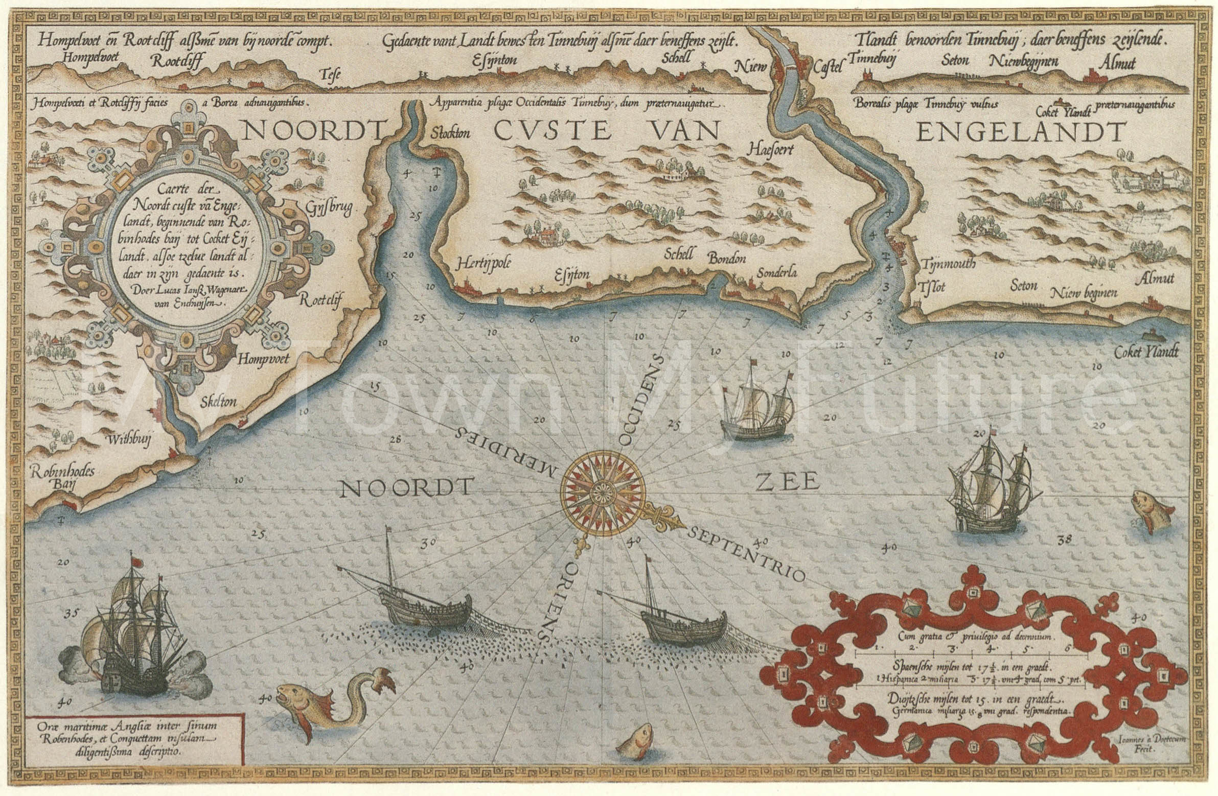
Image courtesy of Cleveland County Museum.